What is the Karst
Limestone formed millions of years ago when sediments from the skeletons of marine organisms and from large lakes deposited at the shallow floor and solidified. Later, tectonic movements raised this limestone rock to the surface, and it was exposed to natural elements and the rain’s corrosion.
Commonly, karst formations are related to sedimentary carbonated rocks (such as limestone or dolomite), but the dissolution process can also be observed in gypsum and salt rocks, among others. Most of the karst geology around the world is characterized by limestone rock.
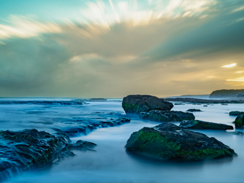
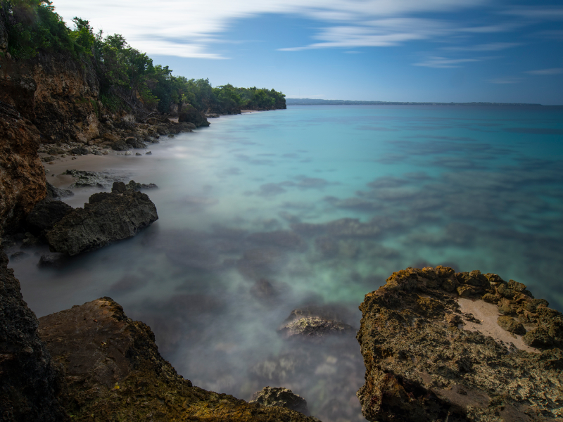
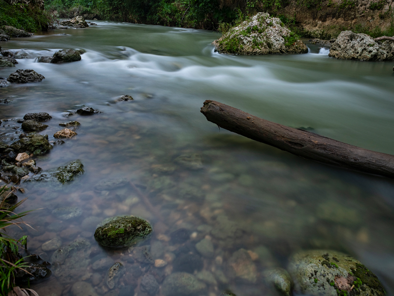
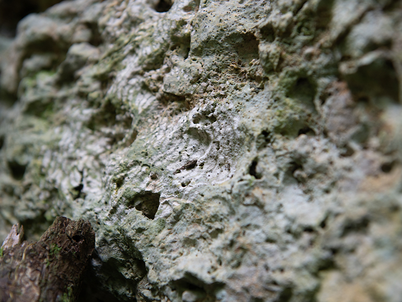
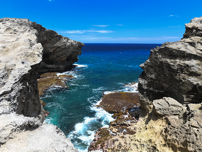
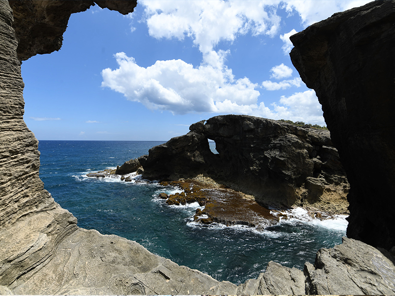
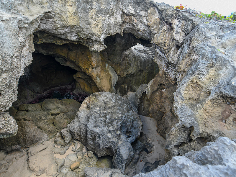
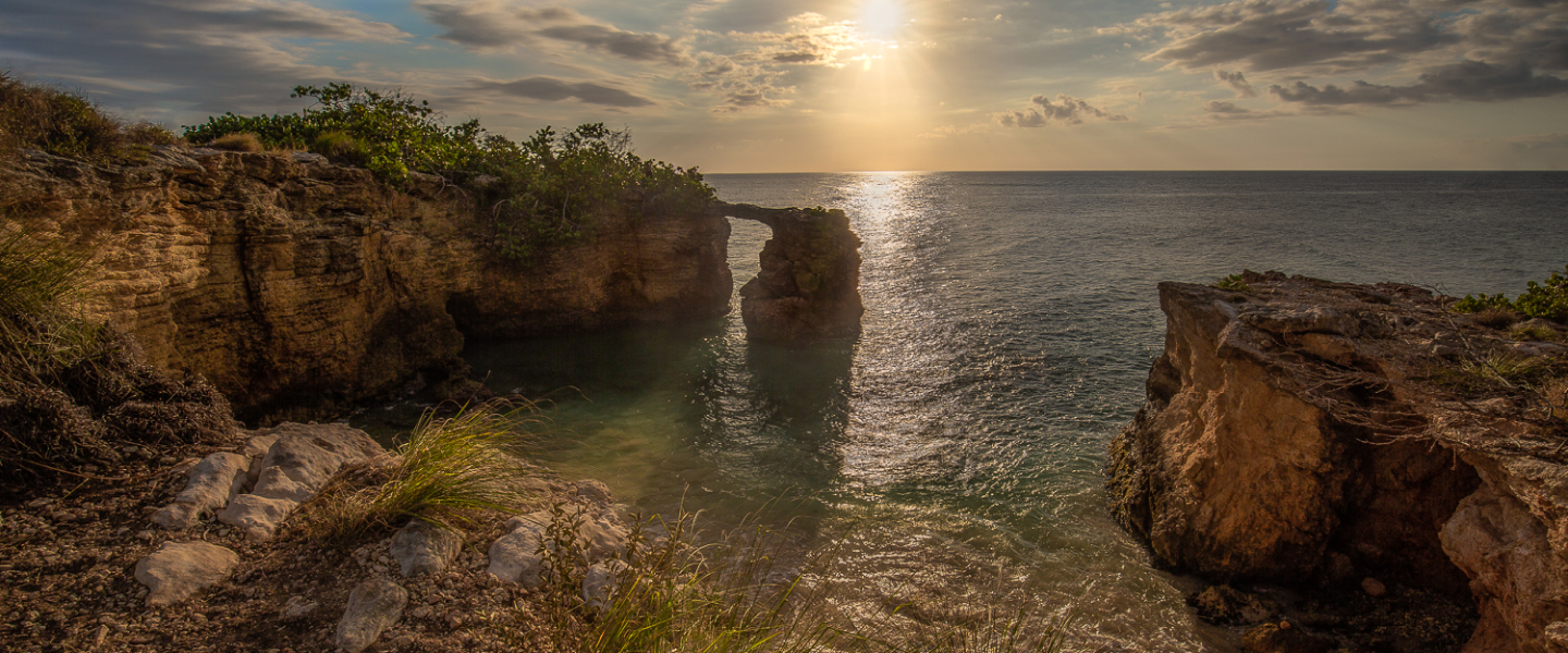
Karst is formed through a process of chemical erosion or dissolution of limestone rock, which creates a complex landscape that can contain sharp rock or karren (called "diente de perro"), dolines (called sinkholes in Puerto Rico), hummocks, closed valleys, caves and aquifers. In a hydrological map we can observe the absence of surface water currents, because most of the rainwater infiltrates to the subsoil creating subway rivers and aquifers. These natural features are called karst. Its topographic features are extremely different from the rest of the mountainous topography of the island of Puerto Rico.
Therefore, the development of all karst formations requires: (1) the presence of rocks that can be dissolved by water and (2) slightly acidic waters capable of dissolving and corroding those rocks (dissolution process).
This process of chemical erosion or dissolution of limestone creates a landscape composed of sinkholes, mounds, closed valleys, caves and aquifers and the absence of surface water currents, among other features that it is called the karst. Its topographic features are vastly different from the rest of the non-karst topography.
The word karst (German),, a term accepted by the international scientific community, comes from the name of a limestone plateau known as Kras, located in Slovenia and partially extending to Italy (where they call it karst). In Slovenia (part of the Austro-Hungarian Empire) the first scientific study of this topography was made in the 19th century.
The name is of Indo-European origin from karra, which means stone and from the Latin word Carusardius. Since then, all places with features similar to this zone have been scientifically identified as karst areas. In Spanish, the terms carso and karso are accepted as synonyms.
Puerto Rico’s limestone rock region covers approximately 244,285 acres or 27% of the island’s surface and is divided between the northern limestone zone, the southern limestone zone and the dispersed limestone. All limestone areas have karst characteristics. The following map shows the different limestone zones of Puerto Rico according to Monroe (1976). This map does not consider the adjacent islands of Mona, Monito, Caja de Muertos and Vieques, which also have limestone formations.
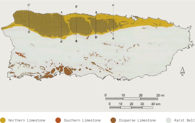
The largest and most extensive limestone zone in Puerto Rico is the Northern limestone zone, located between the municipalities of Aguada and Loíza. This area covers 90% of the limestone region of Puerto Rico and is where the corrosion and dissolution processes are more noticeable. The southern karst zone extends discontinuously southwest from Juana Díaz to Cabo Rojo.
Here the dissolution and corrosion processes are hardly noticeable. Also, there are karst outcrops scattered throughout the volcanic mountainous region in the center of the Island, which include several municipalities such as Aguas Buenas, Cayey, Comerío, Barranquitas, Las Marías and San Germán, among others. These outcrops are the oldest in Puerto Rico, since they were exposed to nature elements at the same time when areas of the Central Mountains range (Cordillera Central) began to be exposed.
The main difference between the northern the southern limestone zones is the climate. The northern limestone zone and much of the dispersed limestone zones are characterized as wet and very humid, while the southern limestone a dry zone. The climatic differences result in a different dissolution process that is distinct to each area, which in turn results in unlike topographic features. For example, the caves in the southern limestone zone are not very extensive, are mostly dry and do not have large underground rivers as in the northern limestone zone.
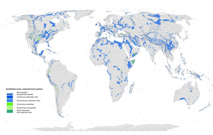
Getting to know the karst is important since approximately 22% of the Earth’s surface is covered by karst terrain. Furthermore, more than 25% of the world population depends on the water supplied by karst areas. For example, in the United States, 20% of the earth’s surface is karst (see map) and 40% of drinking water comes from aquifers in karst areas.
Globally, 90% of the karst is found in sedimentary carbonate rocks (composed primarily of calcium carbonate), such as limestone and dolomite. Although the karst is most abundant in humid regions with mild, tropical, alpine, and even polar environments, karst soils can also be found in arid areas.