Maps Possible areas impacted by Global Warming in Puerto Rico 2007 study.
The 2007 Report of the Intergovernmental Panel on Climate Change (“IPCC”) assessed the consequences of global warming on different aspects of the planet and its impact on human society up to the year 2100. Sea level rise was one of the impacts studied by the IPCC as part of this phenomenon. The IPCC concluded that sea level will rise by 28 to 58 centimeters (11 to 23 inches) on average across the planet. However, the IPCC did not rule out that this increase could reach up to one (1) meter (39 inches) in height, since, among other reasons, its estimates did not incorporate the effect of melting and displacement of ice masses in Greenland and Antarctica.
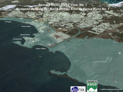
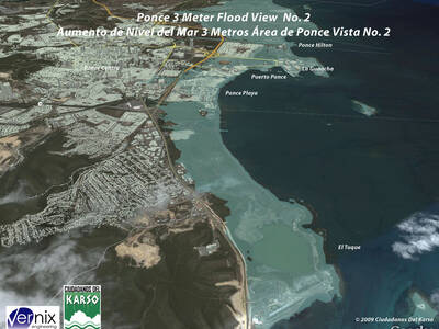
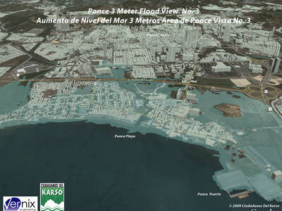
Following this report, the international scientific community has published a large number of studies that have incorporated the potential contribution of ice melting and displacement in these regions of the planet, refining projections of sea level rise. As a consequence, during the past two years, the projection of a rise of at least one (1) meter (3.28 feet) in sea level has gained strength as an expected scenario, without ruling out the possibility of a rise of up to 3 meters (9.84 feet) for the same period of time. See Appendix A at the end of this document for references to these studies.
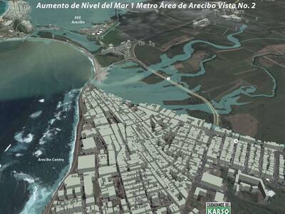
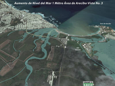
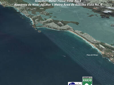
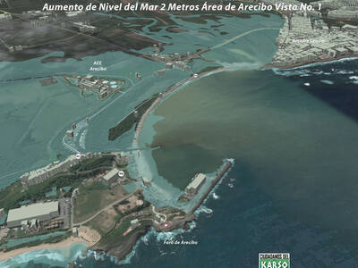
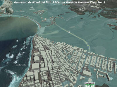
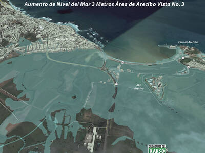
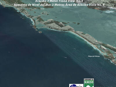
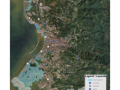
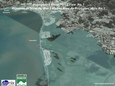
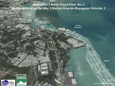
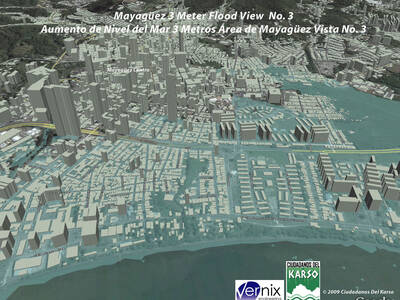
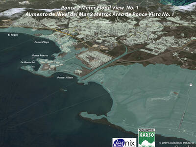
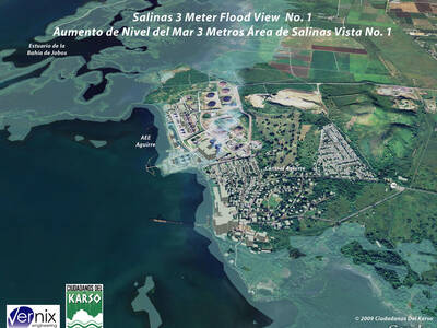
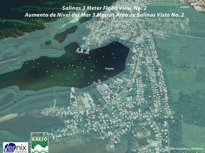
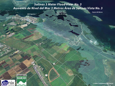
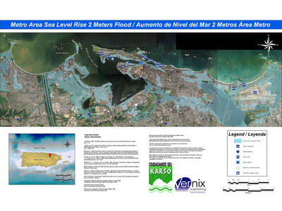
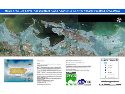
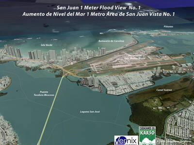
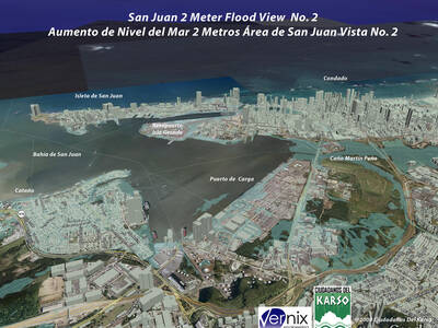
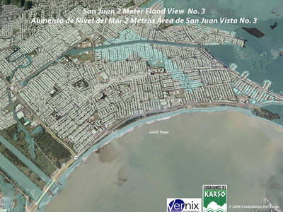
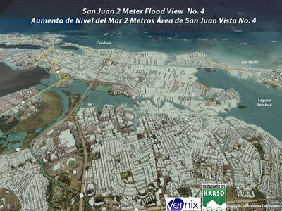
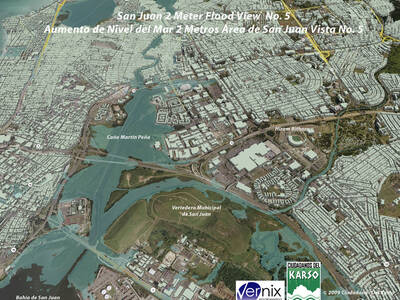
As a result of the 2006 IPCC (Intergovernmental Panel on Climate Change) report, CDK with the advice of Aurelio Mercado PhD from UPR Mayagüez, commissioned a study to evaluate the possible impacts on human infrastructure of sea rise in three different scenarios – 1 meter rise, 2 meters rise and 3 meters rise. Five coastal municipalities were selected, San Juan Metro Area reaching from Carolina to Toa Baja, Ponce, Mayaguez, Arecibo and Salinas.
Arecibo
2D Maps (Rise above sea level)
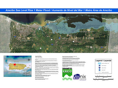
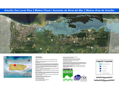
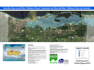
3D Maps (Magnification 1 meter above sea level)
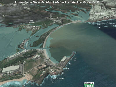
3D maps (Magnification 2 meters above sea level)
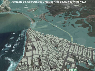
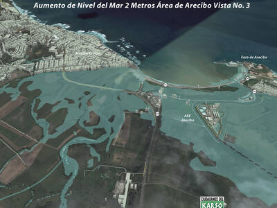
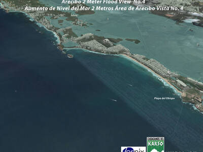
3D maps (Magnification 3 meters above sea level)
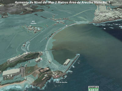
Mayagüez
2D Maps (Rise above sea level)
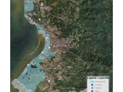
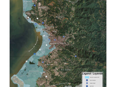
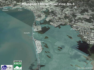
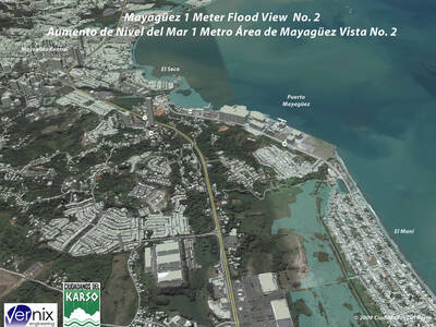
3D Maps (Magnification 1 meter above sea level)
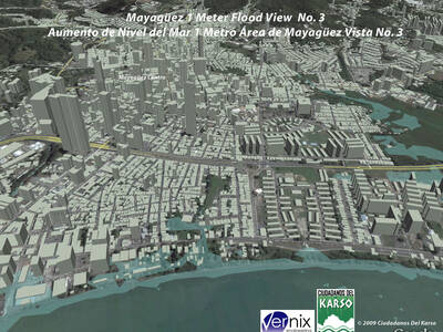
3D maps (Magnification 2 meters above sea level)
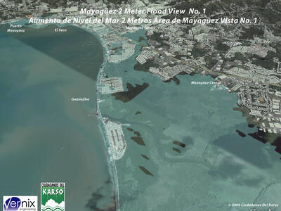
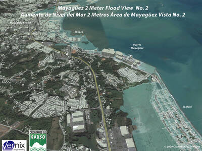
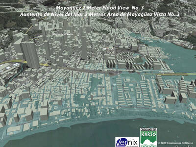
3D maps (Magnification 3 meters above sea level)
Ponce
2D Maps (Rise above sea level)
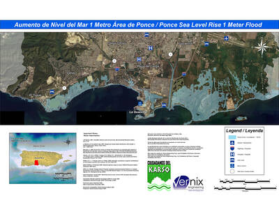
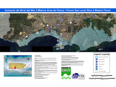
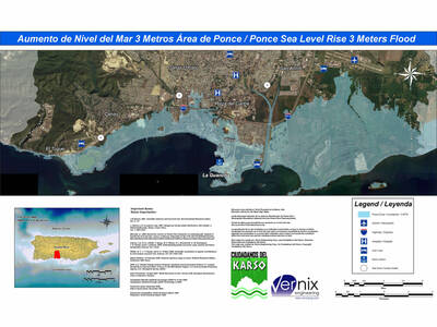
2D maps (Magnification 1 meter above sea level)
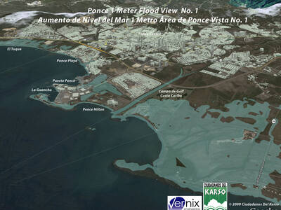
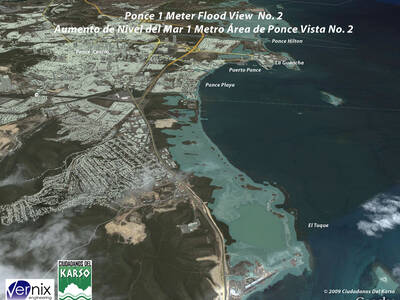
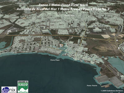
3D Map (Magnification 2 meters above sea level)
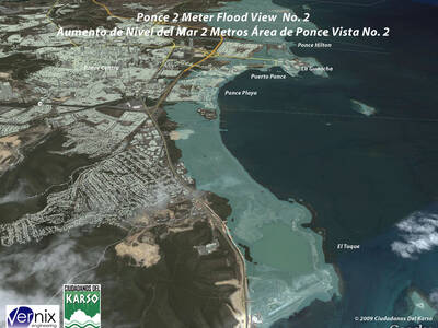
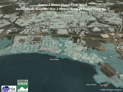
3D maps (Magnification 3 meters above sea level)
Salinas
2D Maps (Rise above sea level)
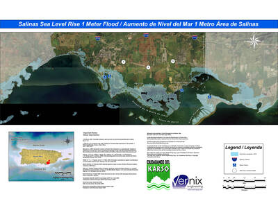
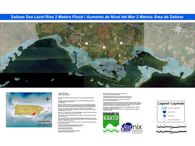
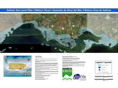
3D Maps (Magnification 1 meter above sea level)
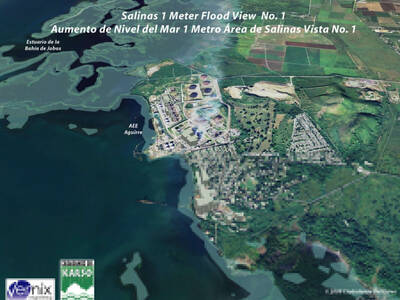
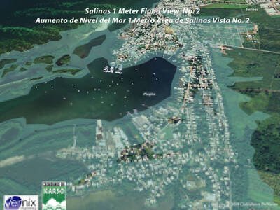
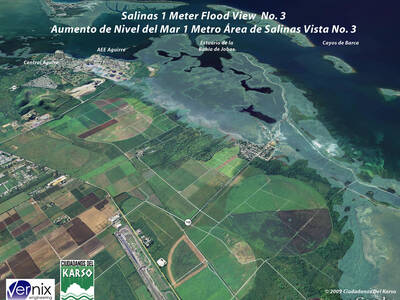
3D maps (Magnification 2 meters above sea level)
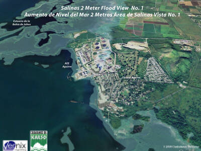
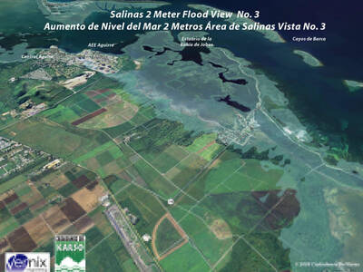
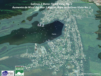
3D maps (Magnification 3 meters above sea level)
San Juan
2D Maps (Rise above sea level)
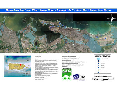
3D Maps (Magnification 1 meter above sea level)
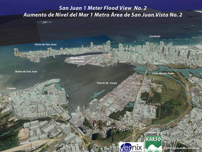
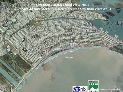
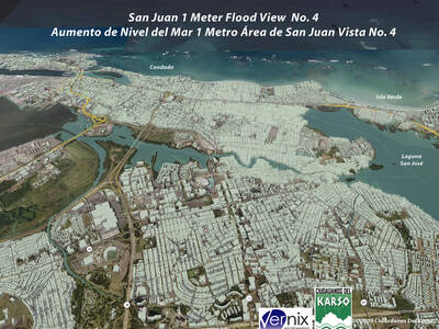
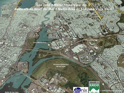
3D maps (Magnification 2 meters above sea level)
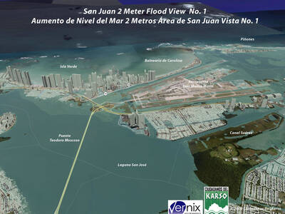
3D maps (Magnification 3 meters above sea level)
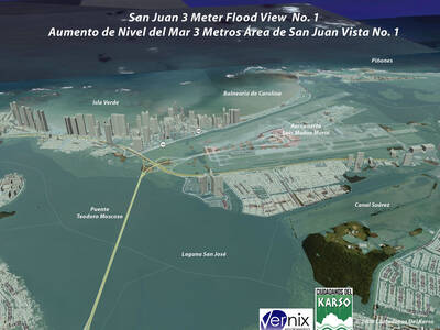
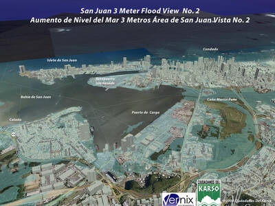
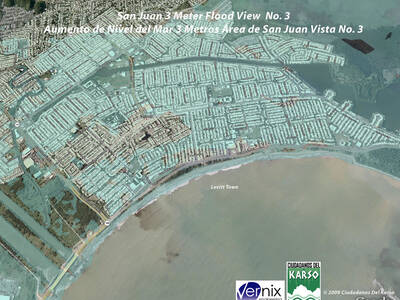
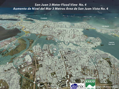
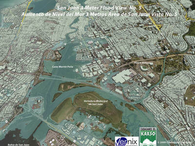
As a result of the 2006 IPCC (Intergovernmental Panel on Climate Change) report, CDK, with the advice of Aurelio Mercado PhD from UPR Mayagüez, commissioned a study to evaluate the possible impacts on human infrastructure of sea rise in three different scenarios – 1 meter rise, 2 meters rise and 3 meters rise. Five coastal municipalities were selected, San Juan Metro Area reaching from Carolina to Toa Baja, Ponce, Mayaguez, Arecibo and Salinas.

